Information for hikers on this site
Map
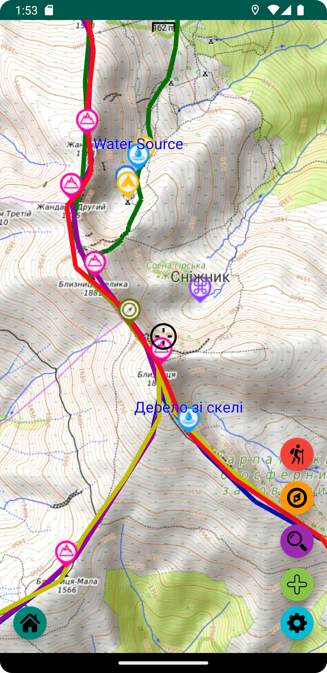
Interactive online map with routes and places
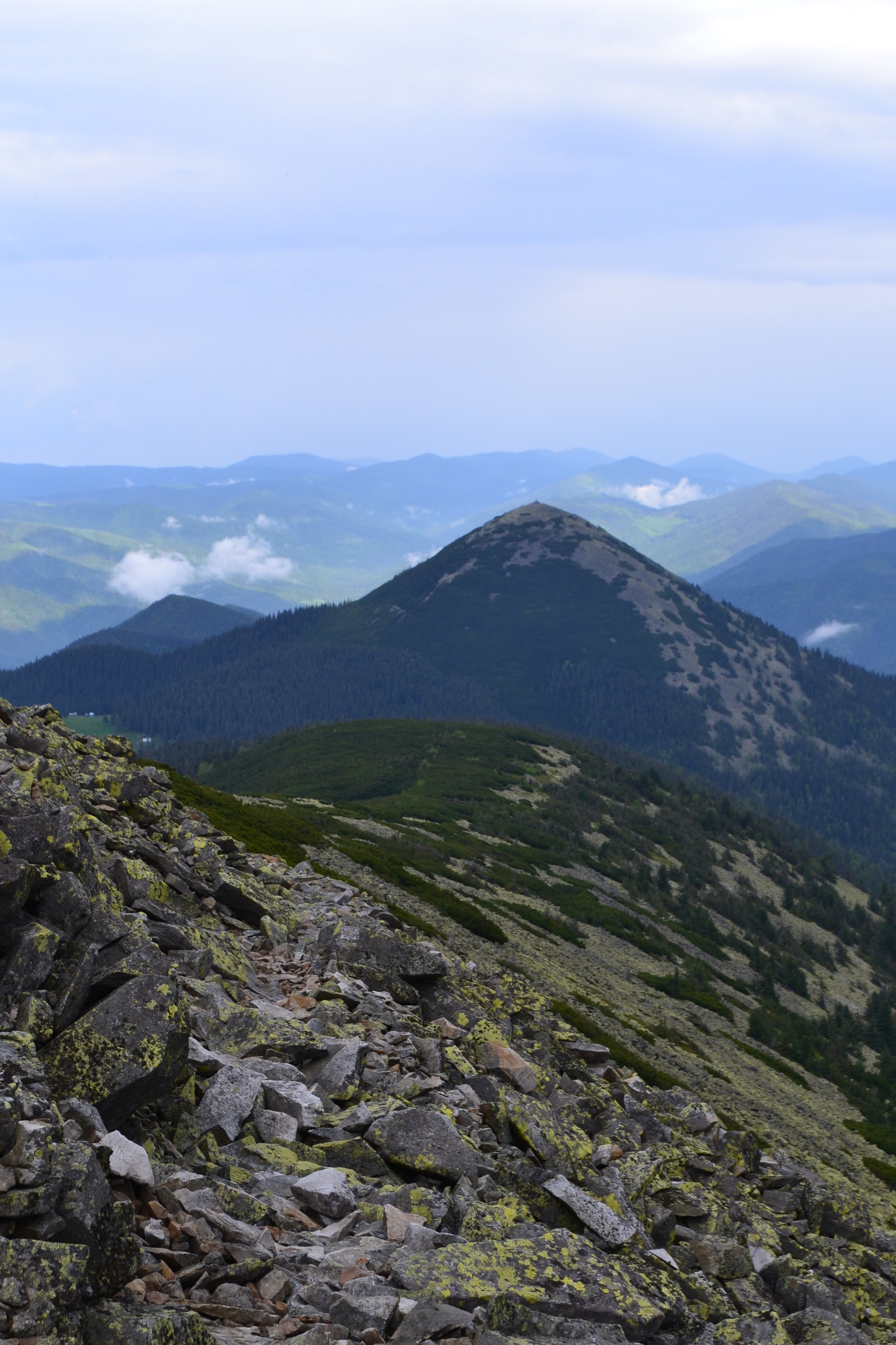
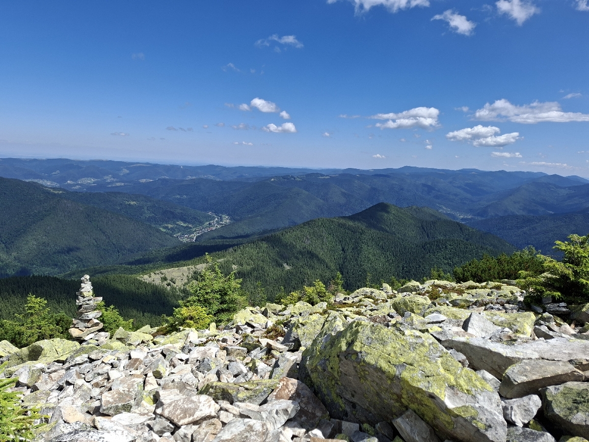
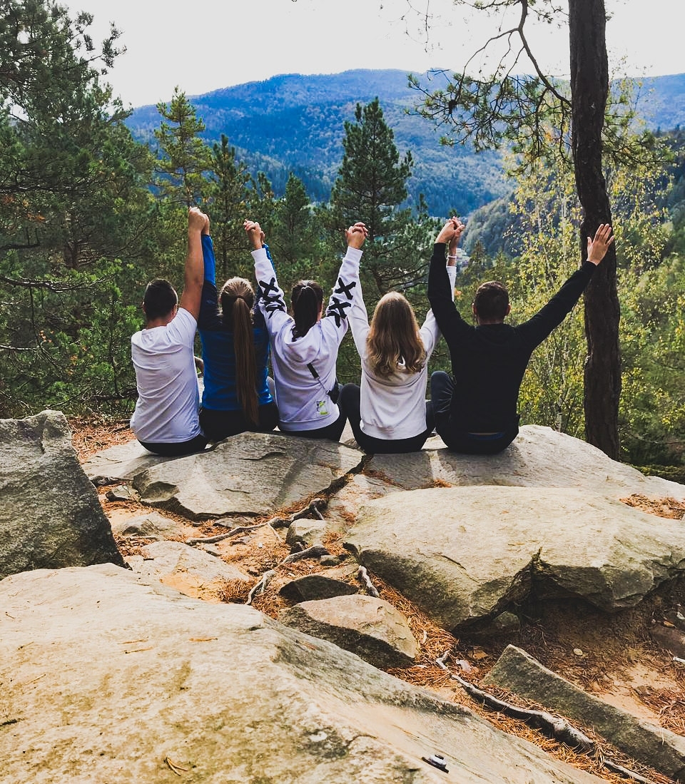
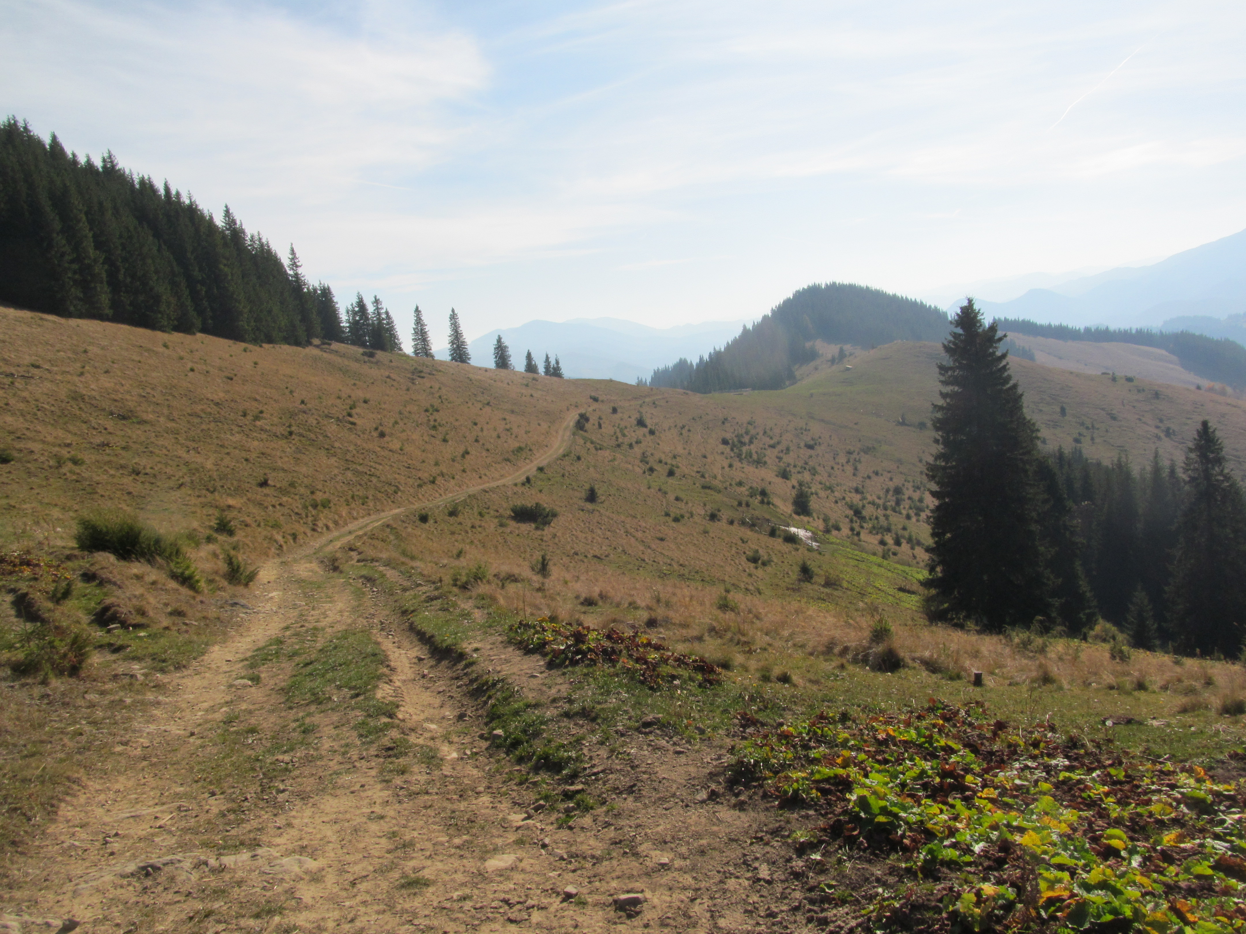
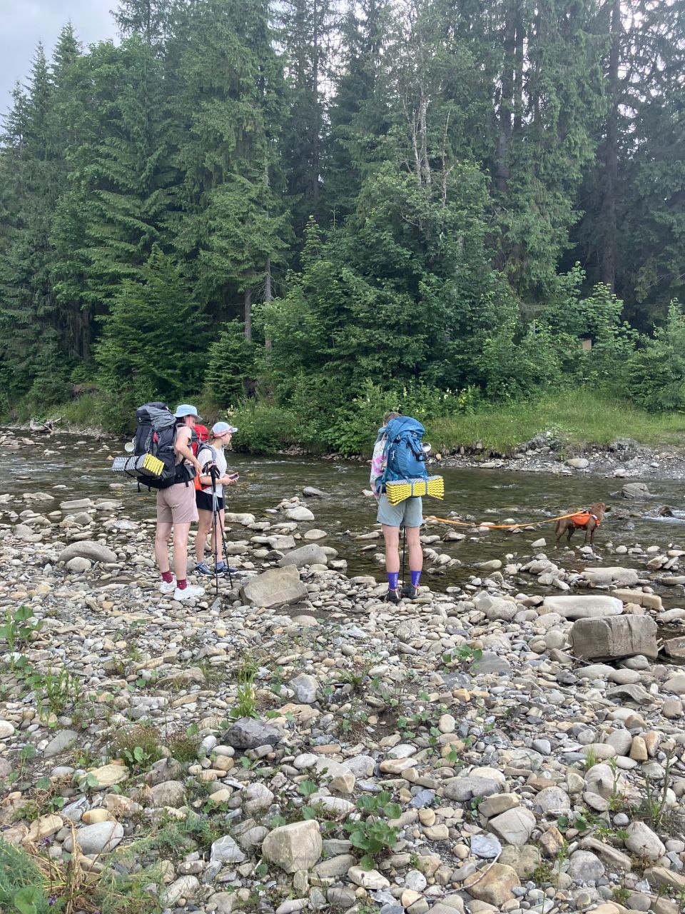
Routes
Directory of hiking routes
Chat
Online chat for communication with other hikers
Mobile application
Mobile hiking apps are integrated with this site
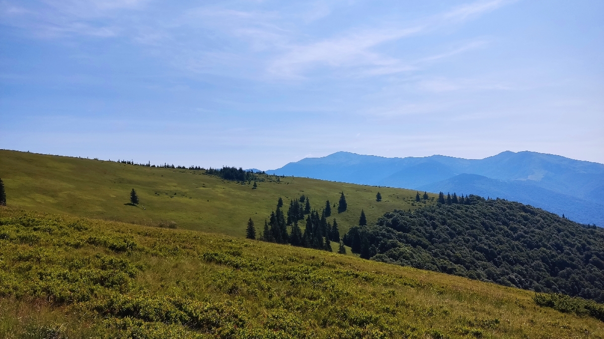
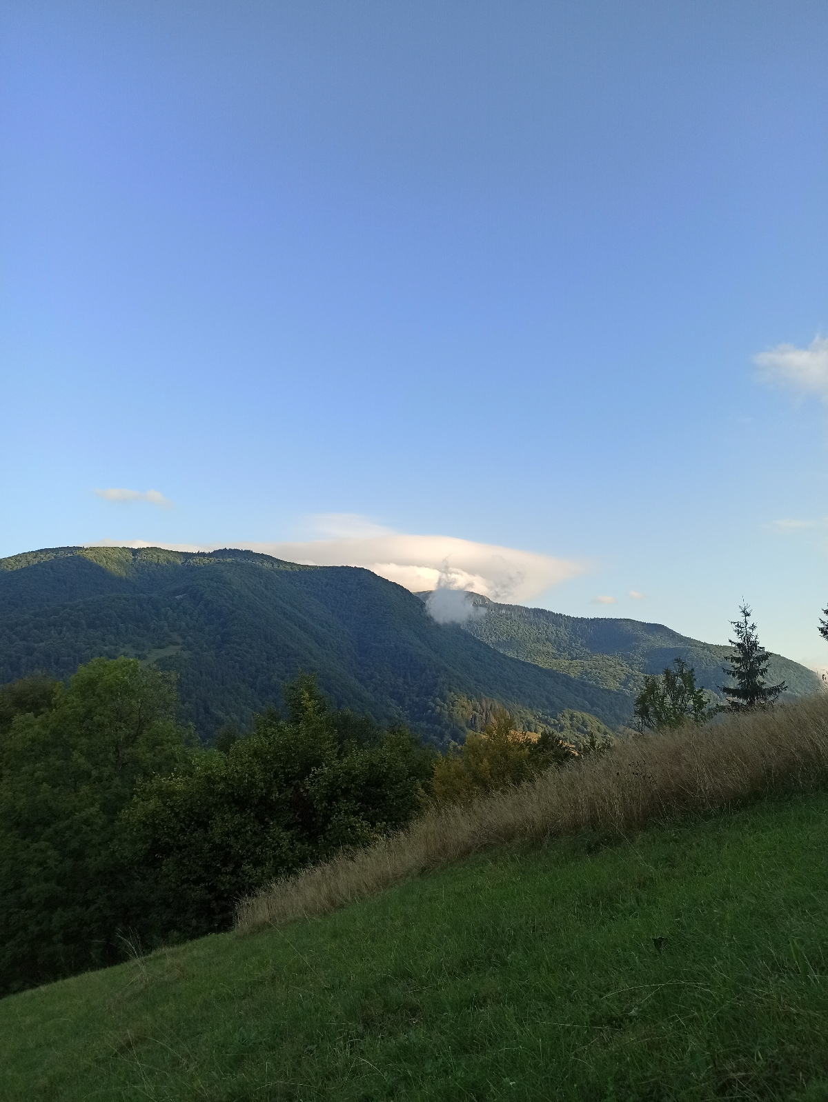
Weather
Weather forecast on hiking routes
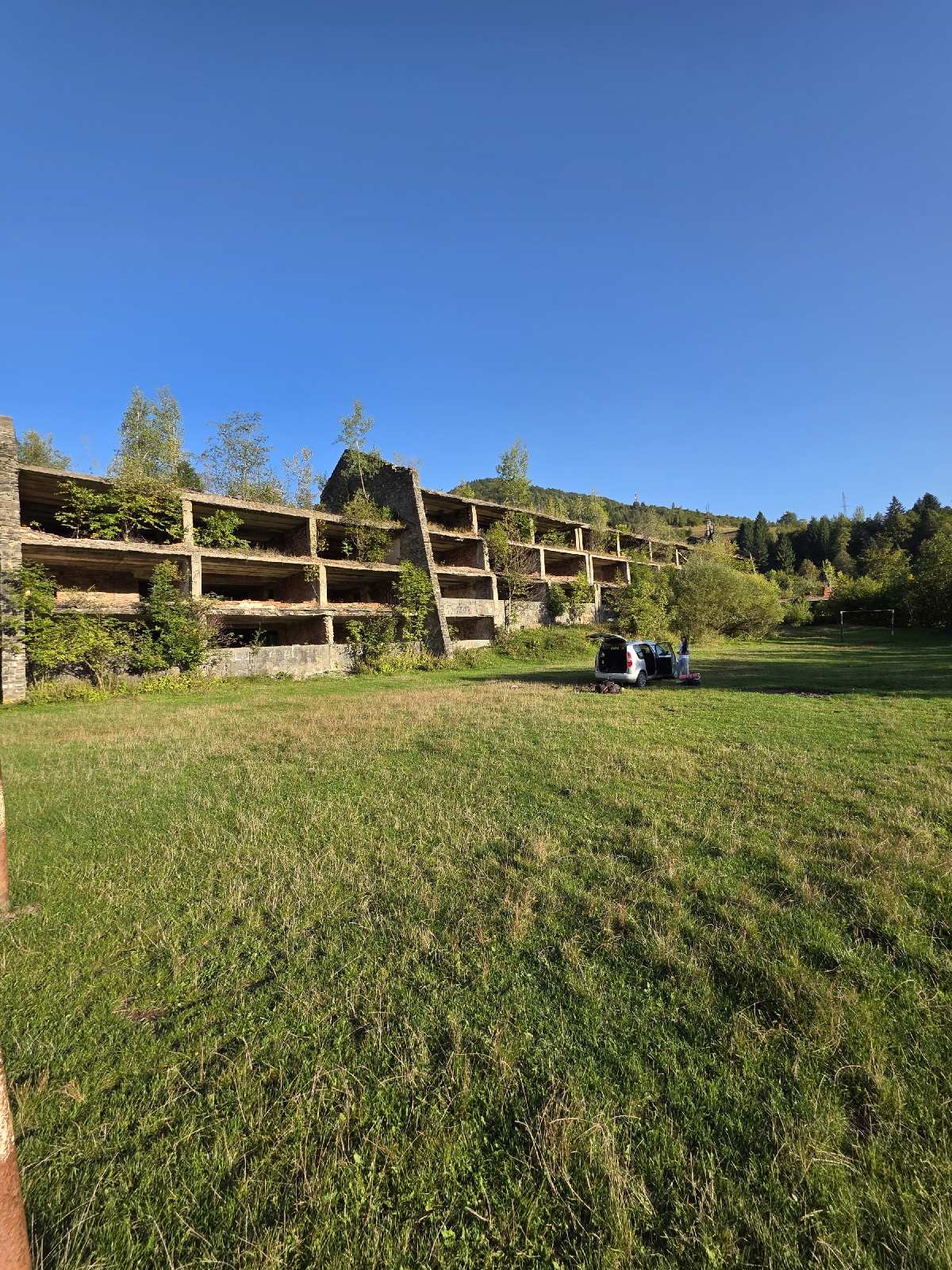
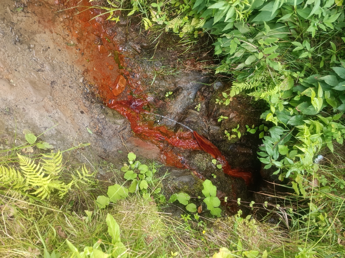
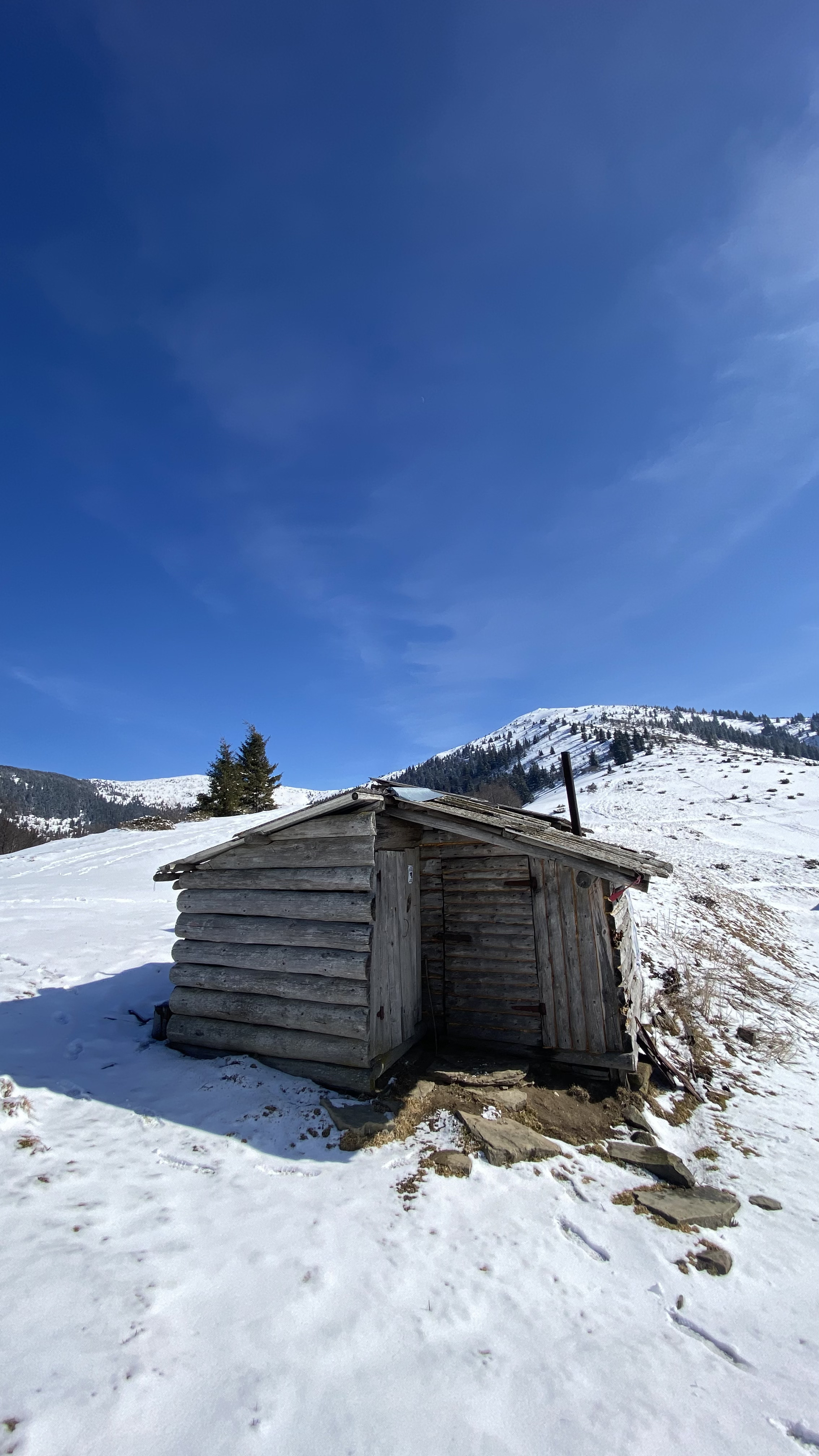
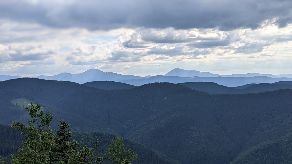
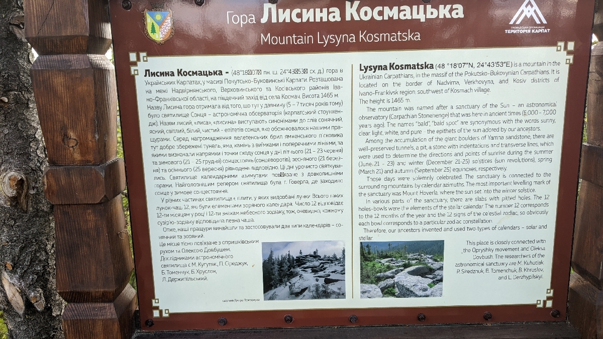
Places
Places that are useful or interesting for hikers
Towns & Willages
Information about settlements on tourist routes
Forum
Discussion about hikes, routes, tourist equipment
Blog
News of this website
Directory
Tourist guide. Information you need to know before the trip
Guides
Directory of guides who can organize your trip
Quests
Friendly competitions among users of this website and mobile application
Equipment
equipment_short_description
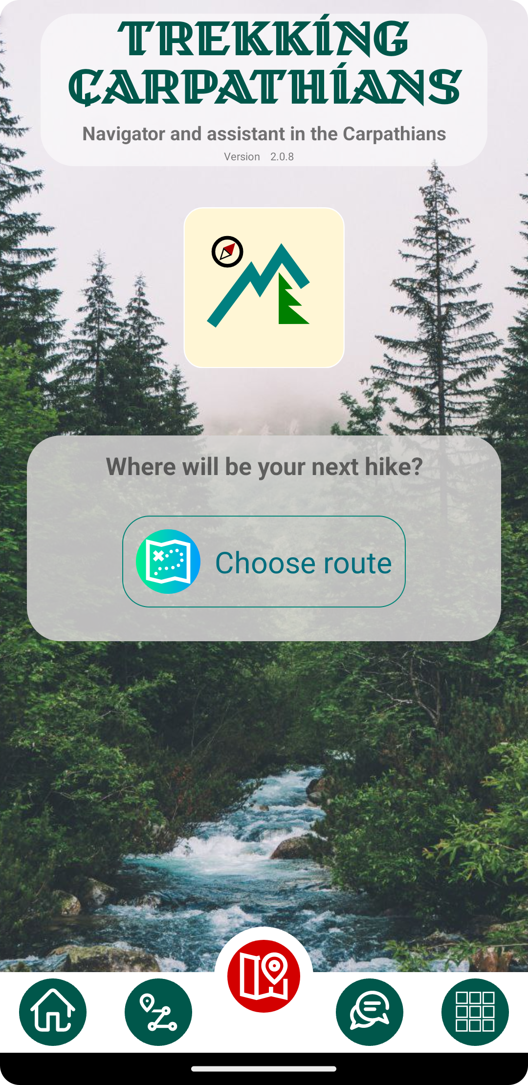
"Trekking Carpathians" - Mobile application
A unique mobile application created specifically for hiking in the Ukrainian Carpathians. The developer of the application himself likes to travel through the Carpathians and developed this mobile application for himself and for all Ukrainians and foreign guests. With this app, you can choose a route for your hike and walk it from start to finish using the app as a navigator. You can always use this app as a guide during your hike. It has information about the weather, surrounding settlements, transport, etc. The app also has functions for communicating with other travellers - chat and forum.
Mobile app features
Map
Routes
Chat
Weather
Places
Towns & Willages
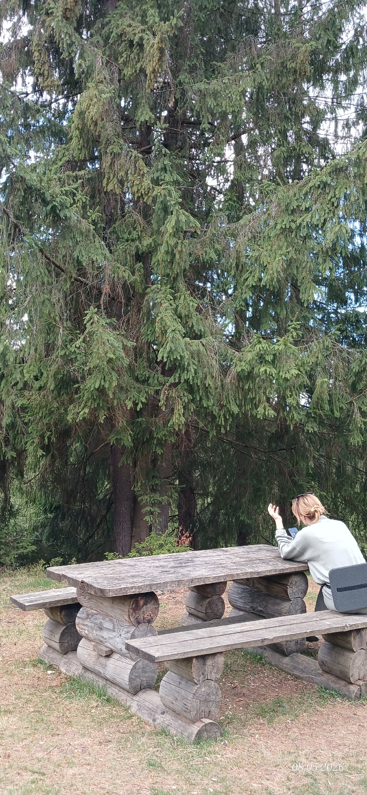
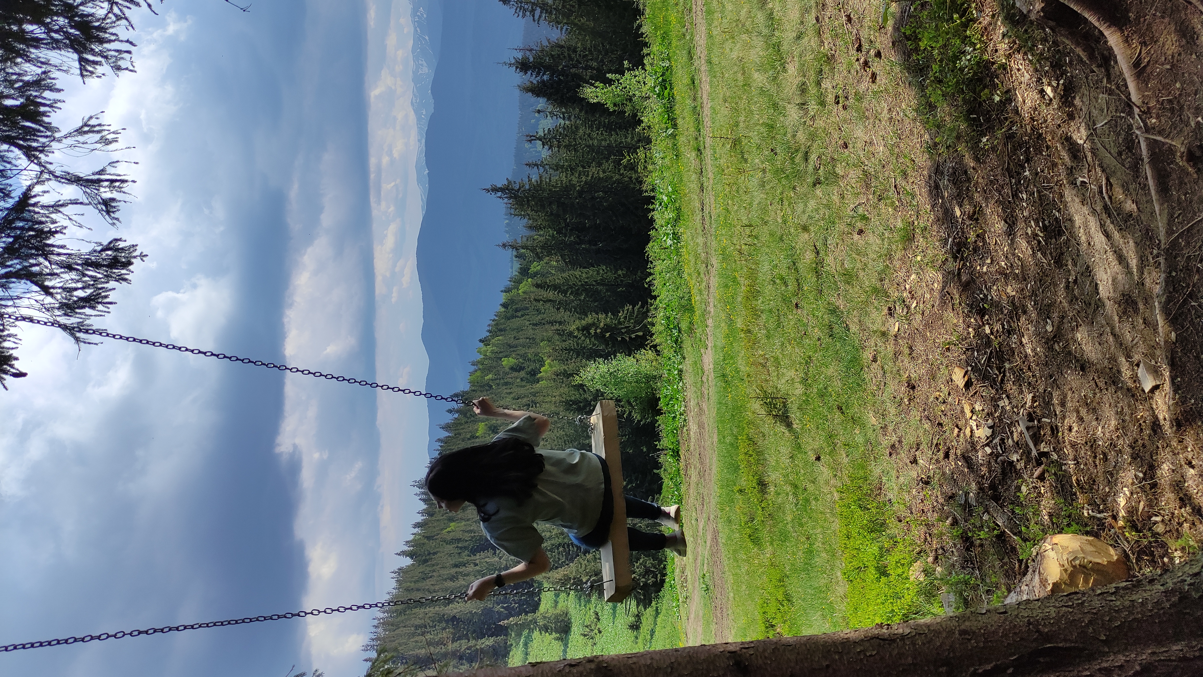
Recommended routes

Random routes

Developer
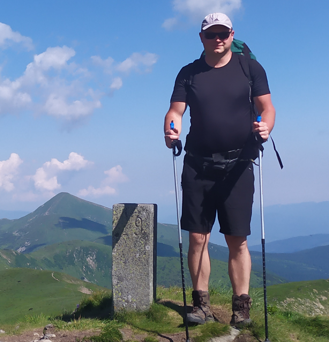
My name is Roman Gelembjuk. I have two hobbies - programming and hiking in the beautiful Carpathians. I founded the project "Trekking Carpathians" in 2019 and have been developing this platform independently until now. I have created a website and mobile apps for Android and iOS/iPhone called "Trekking Carpathians". All this is available free of charge to all travellers in the Ukrainian Carpathians.
Support this project
You can help develop this project. The easiest thing you can do is subscribe to channels and pages in social networks
You can also support this project financially
На карту Приватбанку
Карта Приватбанка4149 6293 7376 5940
Гелемб'юк Роман