

 German
 Polish
 Ukrainian
Trekking Carpathians
Routes, offline maps and navigation for hiking in the Carpathians — they keep working after the mobile signal is gone.
There is rarely internet in the mountains, and there is no mobile coverage across most of the Carpathians. So download the maps and the routes while you are still online: on the trail the app still shows where you are, how far is left and in which direction the nearest spring or shelter is.


Free • no account needed to start • Android 6.0 and newer, iPhone with iOS 16.6 and newer
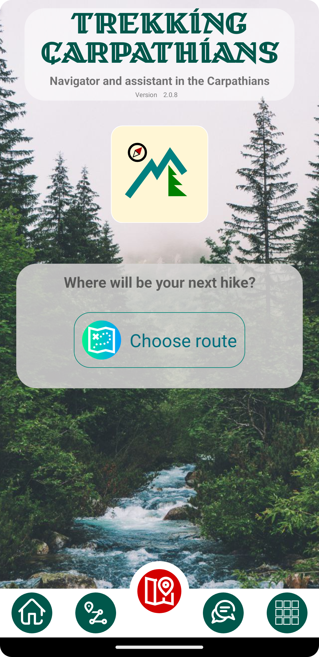
Made for places without a signal
Maps on your phone
Download the map of the area before you leave home. It stays on the device, so it opens with no connection at all.
Navigation without internet
GPS does not need a mobile network. The app shows your position, the distance you walked and how far is left to the finish.
Everything stored locally
Routes, places, descriptions and photos are kept on the phone and sync again the next time you are online.
What you can do with it
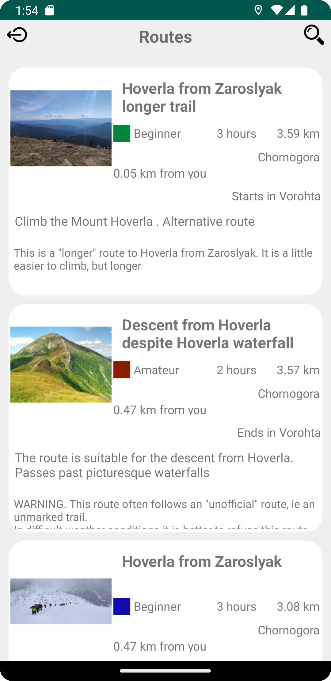
Choose a route
A catalogue of hiking routes with length, duration, difficulty and the town to start from.
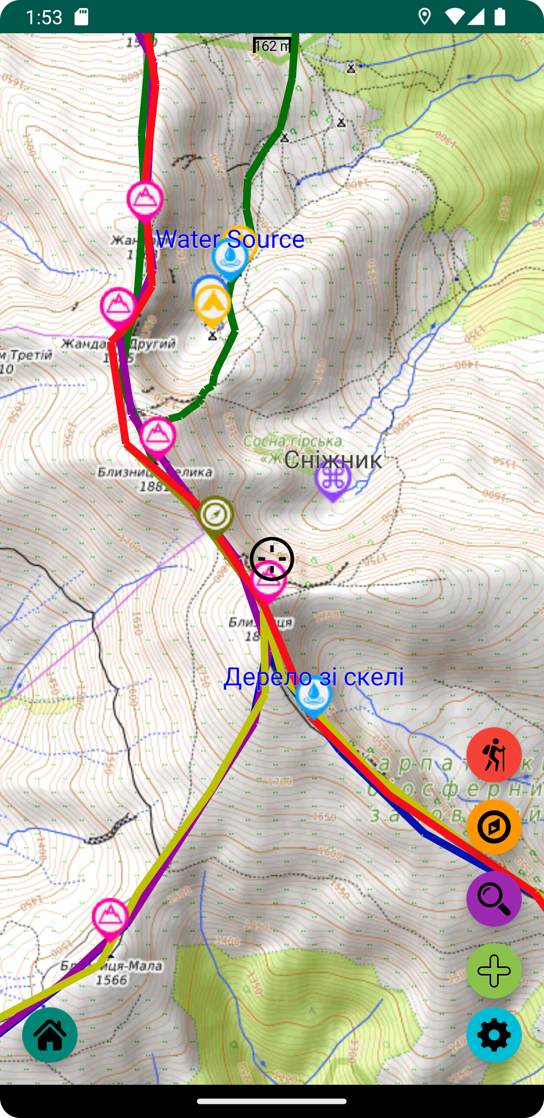
Follow it on the map
The route, your position on it and a warning when you drift away from the trail.
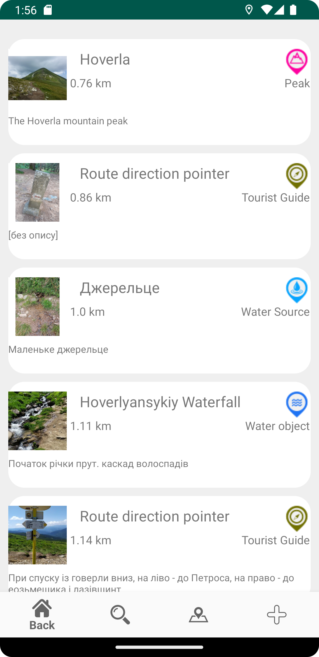
Find what you need
Springs, shelters, huts, rescue posts, places for a camp and peaks — with the distance and direction to each of them.
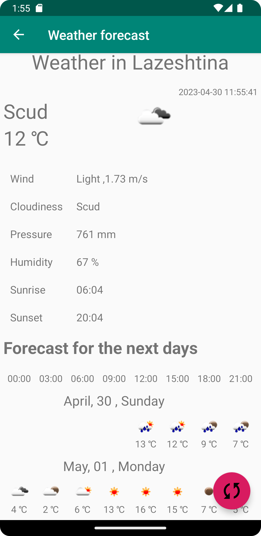
Mountain weather
The forecast for the towns and the routes you are heading to. Worth a look before you start.
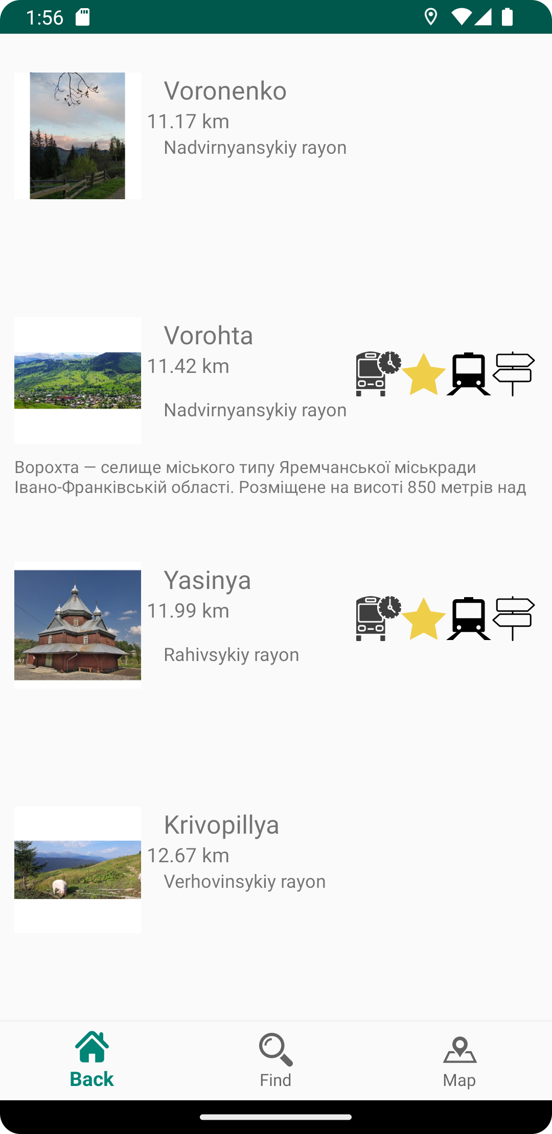
Getting there
Towns and villages at the start of the routes, how to reach them and what is around.
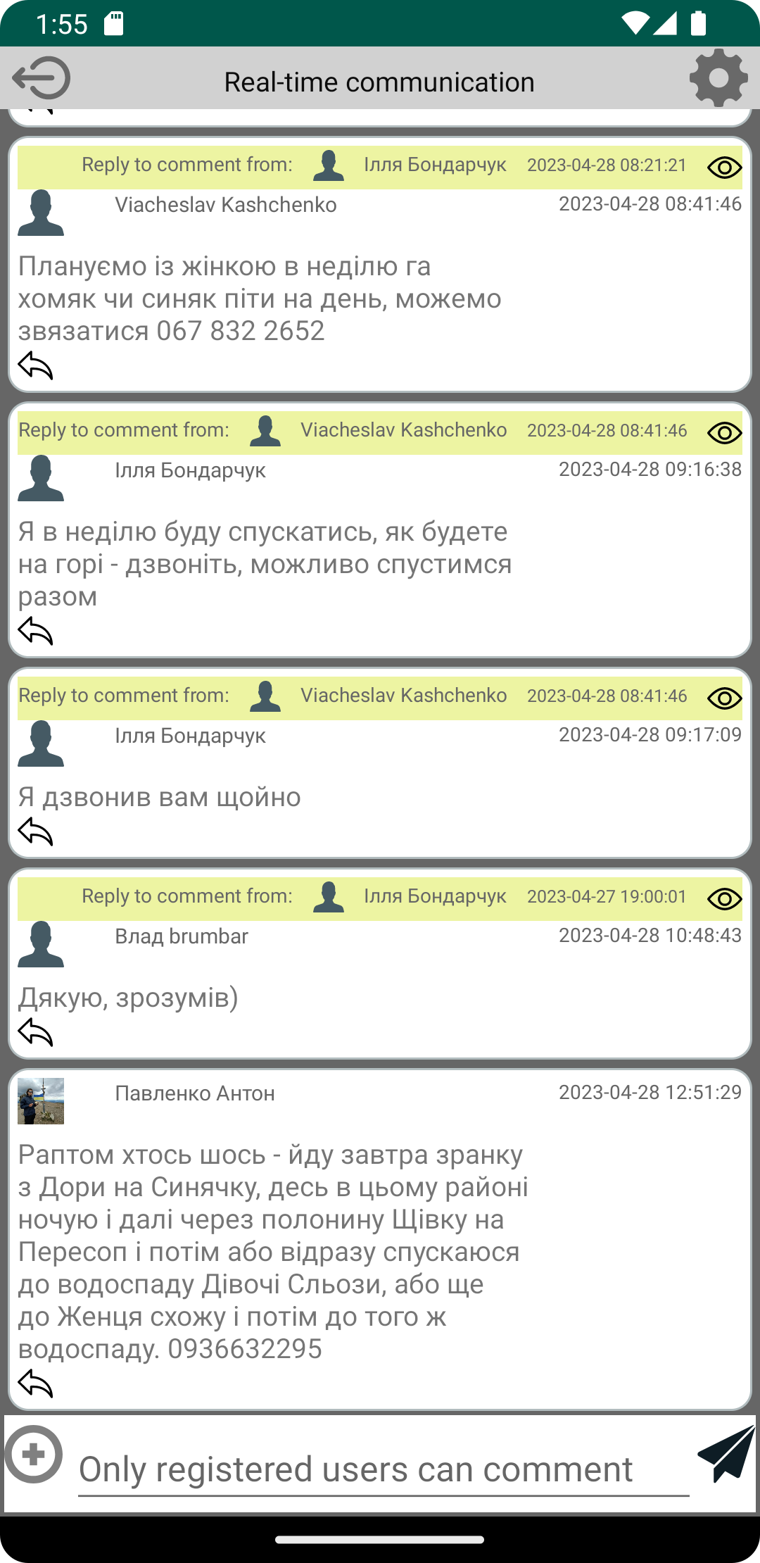
Ask other hikers
A chat and a forum inside the app. Add your own places, photos and comments to the map for everyone else.
Where it works
The app is made for hiking in the Carpathians and carries the routes, places and maps of that region. The interface is available in Ukrainian, English, German and Polish.
You can browse routes, download maps and navigate without creating an account. Signing in adds the forum, the chat, your own places on the map, and keeps all of it when you change your phone.
Free — and how it stays free
Trekking Carpathians is free. Ads inside the app pay for the servers and the map tiles that keep the project running.
If you would rather hike without them, you can remove the ads for 30 days, for a year, or for good. Each of those is a single payment: nothing renews by itself, and you are never charged again unless you buy again. There is no subscription and no separate paid version of the app.
Your data
Your location is used on the device, to place you on the map and to measure distances along the route. What the project stores, and how to have it deleted, is described in the privacy policy.
Questions and ideas
Write to us on the contact page — feature requests from hikers are where most of this app came from. There is more about it, and about hiking in the Carpathians, on our blog.