Watershed-Verkhovyna ridge
Route along the Verchovynsky ridge, through the peak of Pikuy
34.7 km
3 days
Level: Amateur
3 days
Level: Amateur
Peaks on the route:
Pikuy
,
Velikiy Verh
,
Zelemeniy
,
Nondah
,
Hostriy Verh
,
Pripir
,
Listkovanya
,
Starostina
,
Zhurovka
,
Behar
,
Drohobitsykiy Kaminy
,
Rozsipanetsy
,
Kinchik Hnilysykiy
,
Blishnya
,
Hrebenich
,
Pereyba
,
Stozhok
,
Kruhla
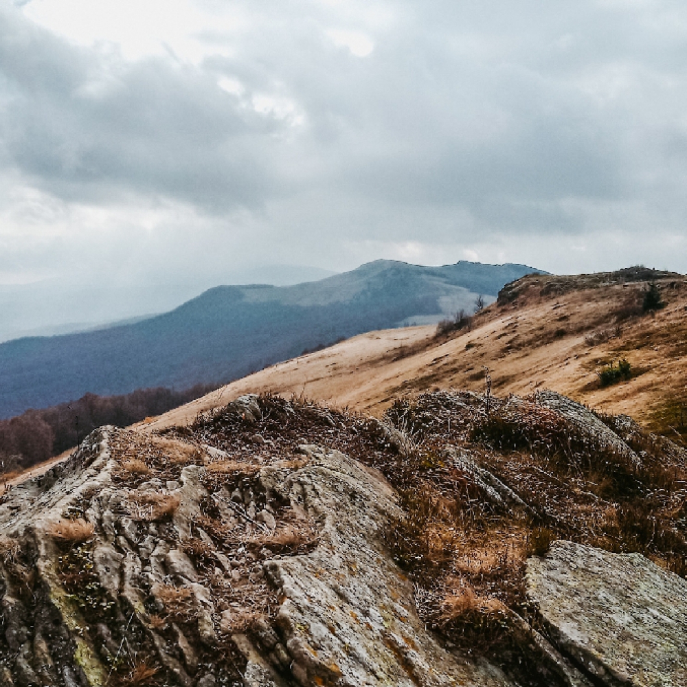
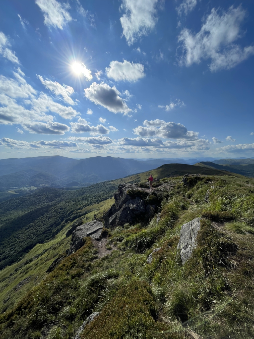
The Verkhovyna watershed is part of the main Carpathian watershed, which marks the administrative border between Transcarpathia and Lviv region.
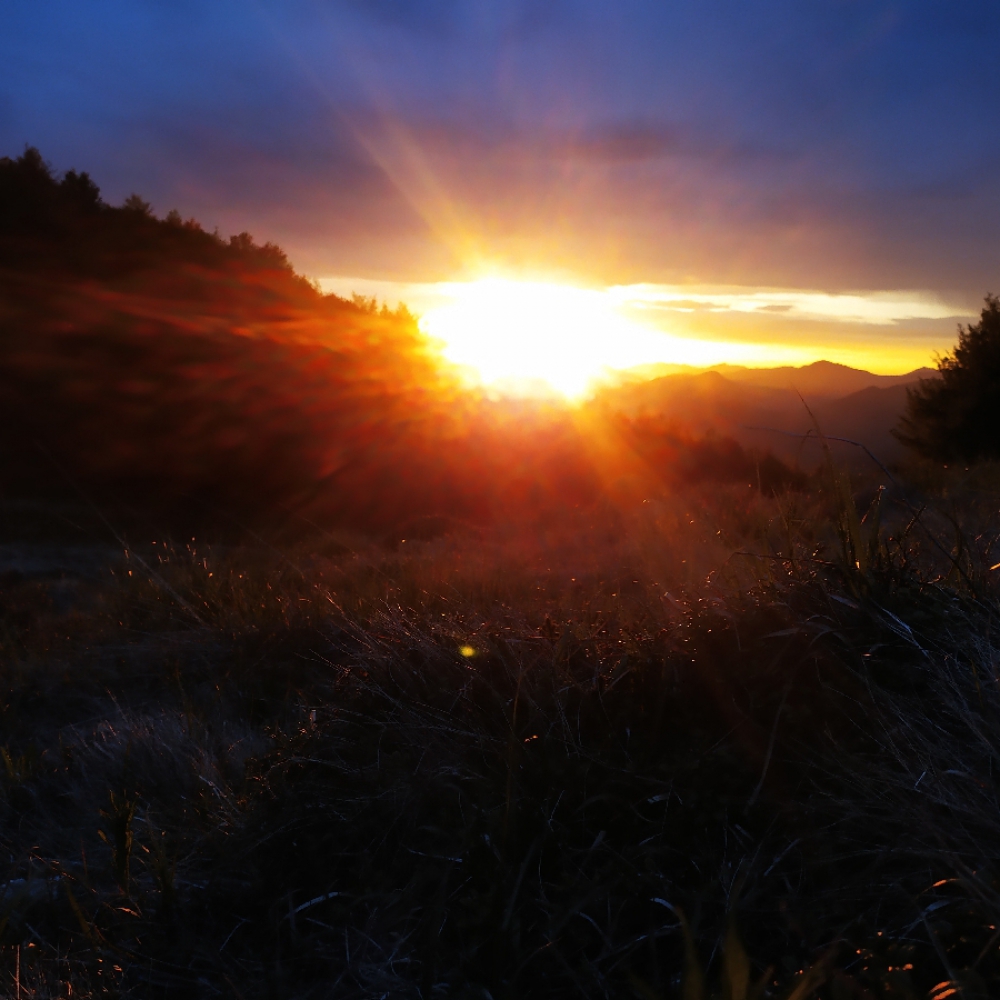
The ridge is located in the north of the Ukrainian Carpathians and stretches from the Uzhotsky Pass, which is almost on the border with Poland and is one of the most picturesque passes in the Carpathians, to Mount Pikuy, which offers beautiful views.
Guides on this route

KULUAR
Найбільший туристичний клуб України, що організовує походи та сходження по всьому світу: Карпати, Альпи, Гімалаї, Африка, Америка, Атлантичні острови, Скандинавія, Середземномор'я. Тут ви знайдете будь-який формат активних подорожей – походи в гори, трекінги, сплави, автотури, сходження чи масштабні експедиції. Відкривай світ разом з KULUAR💚
Найбільший туристичний клуб України, що організовує походи та сходження по всьому світу: Карпати, Альпи, Гімалаї, Африка, Америка, Атлантичні острови, Скандинавія, Середземномор'я. Тут ви знайдете будь-який формат активних подорожей – походи в гори, трекінги, сплави, автотури, сходження чи масштабні експедиції. Відкривай світ разом з KULUAR💚
Are you a guide? Show your services here
3D video animation of this route
Photo gallery

Comments
Denis Bas - 2025-07-15 18:47:01
А хто знає як можна добратись з с.Біласовиця до Львову
Lena - 2025-07-10 12:41:45
Ходили цей маршрут 5.07-7.07.2025
Ніхто документи не перевіряв, і ми не реєструвались. (дівоча компанія)
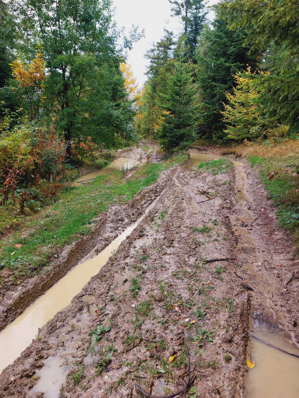
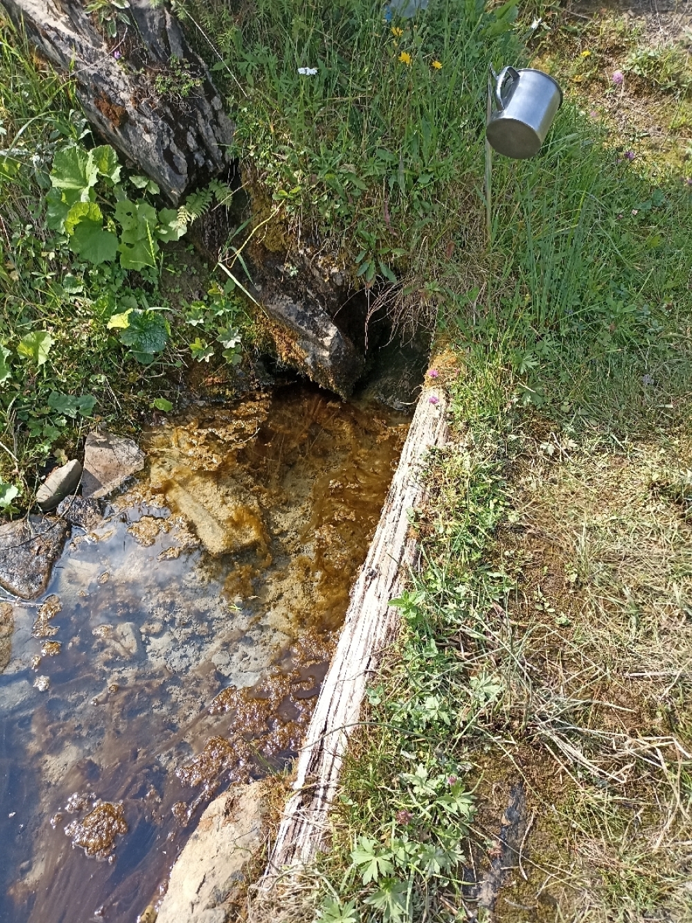
Почали від Ужоцького перевалу, води багато не набрали до підйому і дарма. Як виявилось, дощі по всій країні цих гір не стосувались, і там посуха другий місяць (Львівщина-Закарпаття). Всі джерела аж до Старостини були пересохлі, нуль води.
Добре, що стріли місцевого, який сказав, що вода нижче біля гори і далі є, бо вже думали спускатись в села. Далі вода була на Путь Руська та Панській доліні між Верхами, після Пікуя на спуску дуже мощне джерело.
Marharyta Zaitseva - 2025-05-16 18:22:41
Де рекомендуєте зупинятись на ночівлю в форматі на 2 і на 3 дні?
Чи потрібен дозвіл прикордонників для старту з Сянок?
Олексiй Кунець - 2024-07-09 10:04:31
Чи потрібний дозвіл для проходження цього маршруту ? І де його отримати ?
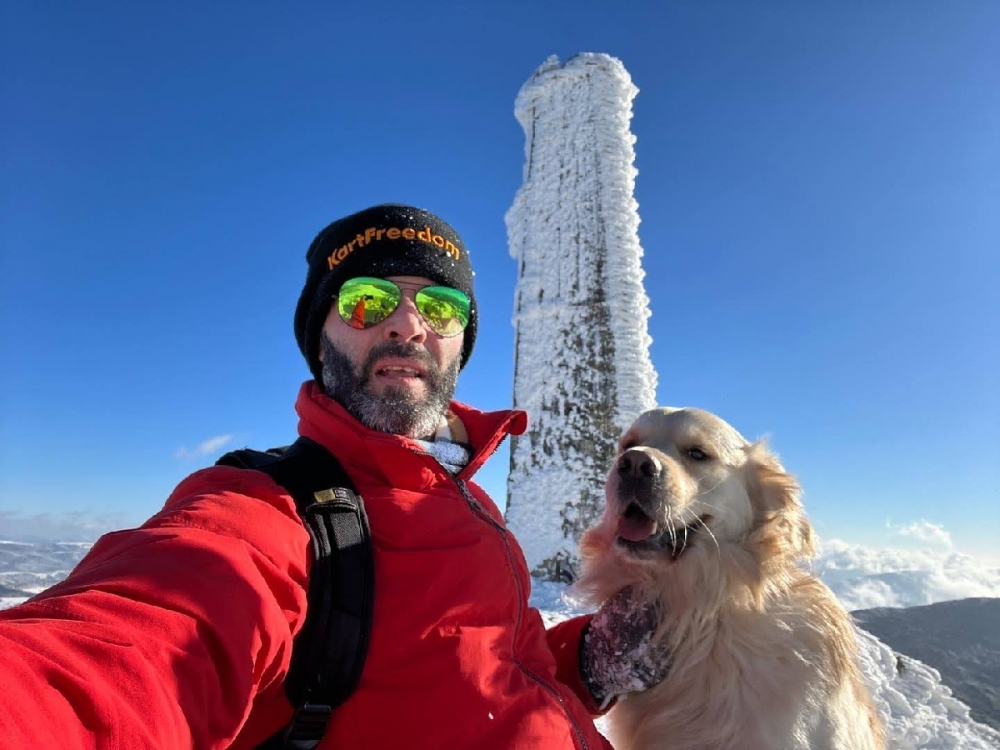
Yevhenii Panenko - 2022-01-25 15:39:43

Наш подьем на Пикуй в январе 2022
Наплічник - 2021-11-19 05:44:37
Хребет дуже гарний. Без сильних перепад висот тобто вилізли на хребет і все, йдете♂️
Наплічник - 2021-11-19 05:43:13
Особисто моя оцінка, що 3 дні там гуляти - дуже довго
Ми у березні по снігу за 2 дні з Сянок у Біласовицю ходили