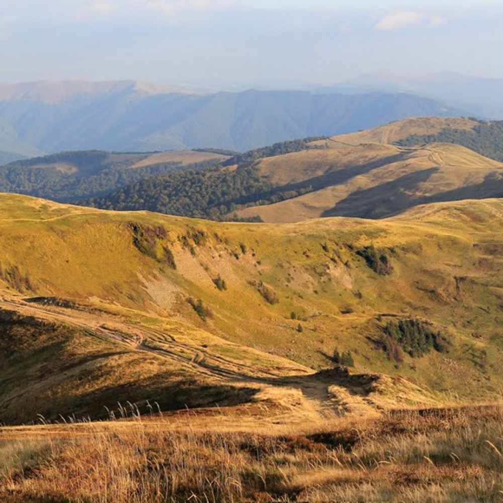
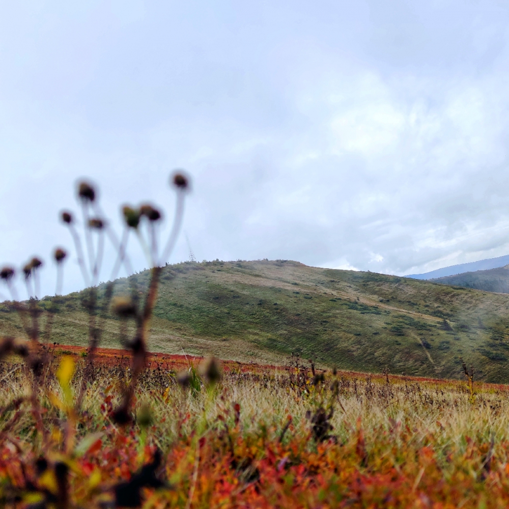
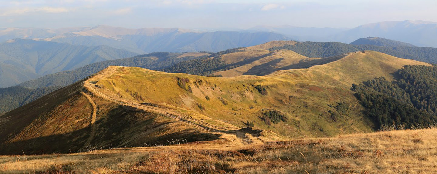
Krasna Ridge is the beauty of the Polonyn Carpathians
Crossing the Krasna Range. From the village of Ust-Chorna to the village of Kolochava
34.4 km
3 days
Level: Amateur
3 days
Level: Amateur
Peaks on the route:
Sihlansykiy
,
Topas
,
Hropa
,
Klimova
,
Ruzha
,
Mala Klimova
,
Havayshavor
,
Kohannya
Interesting on the route:
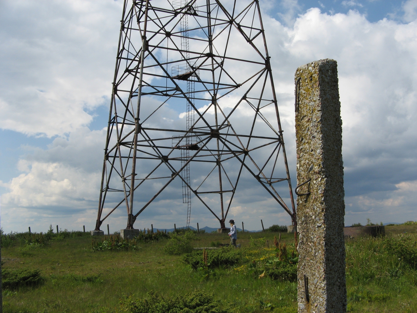
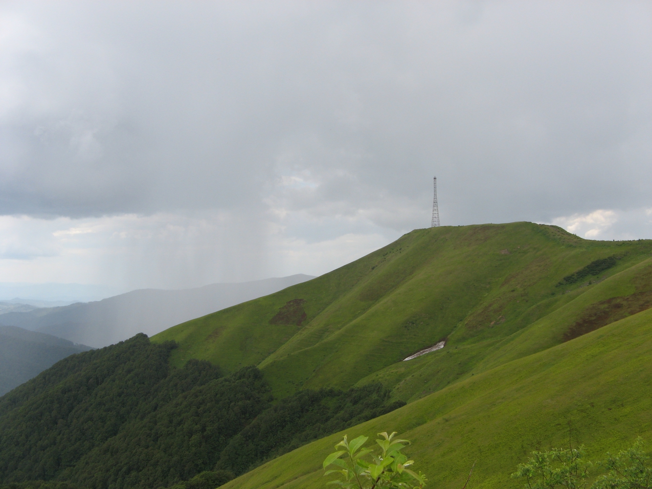
Вежа радіотрансляційна.
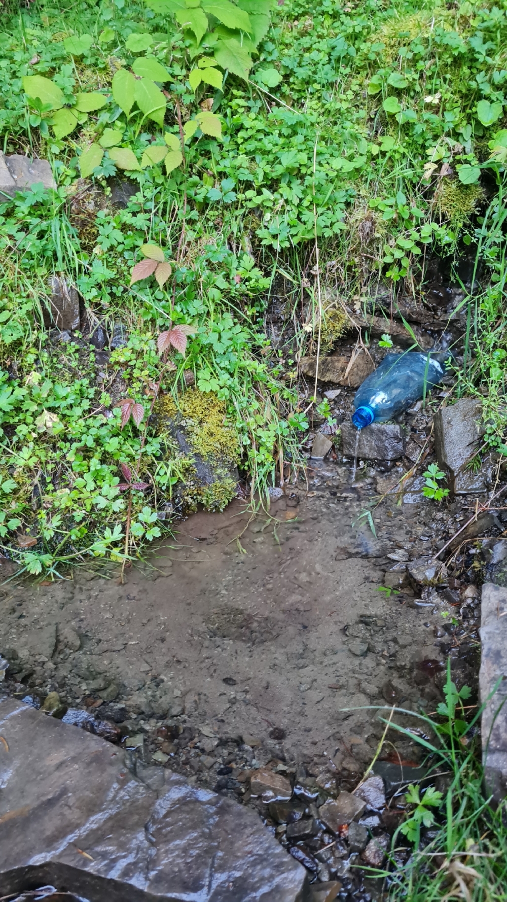
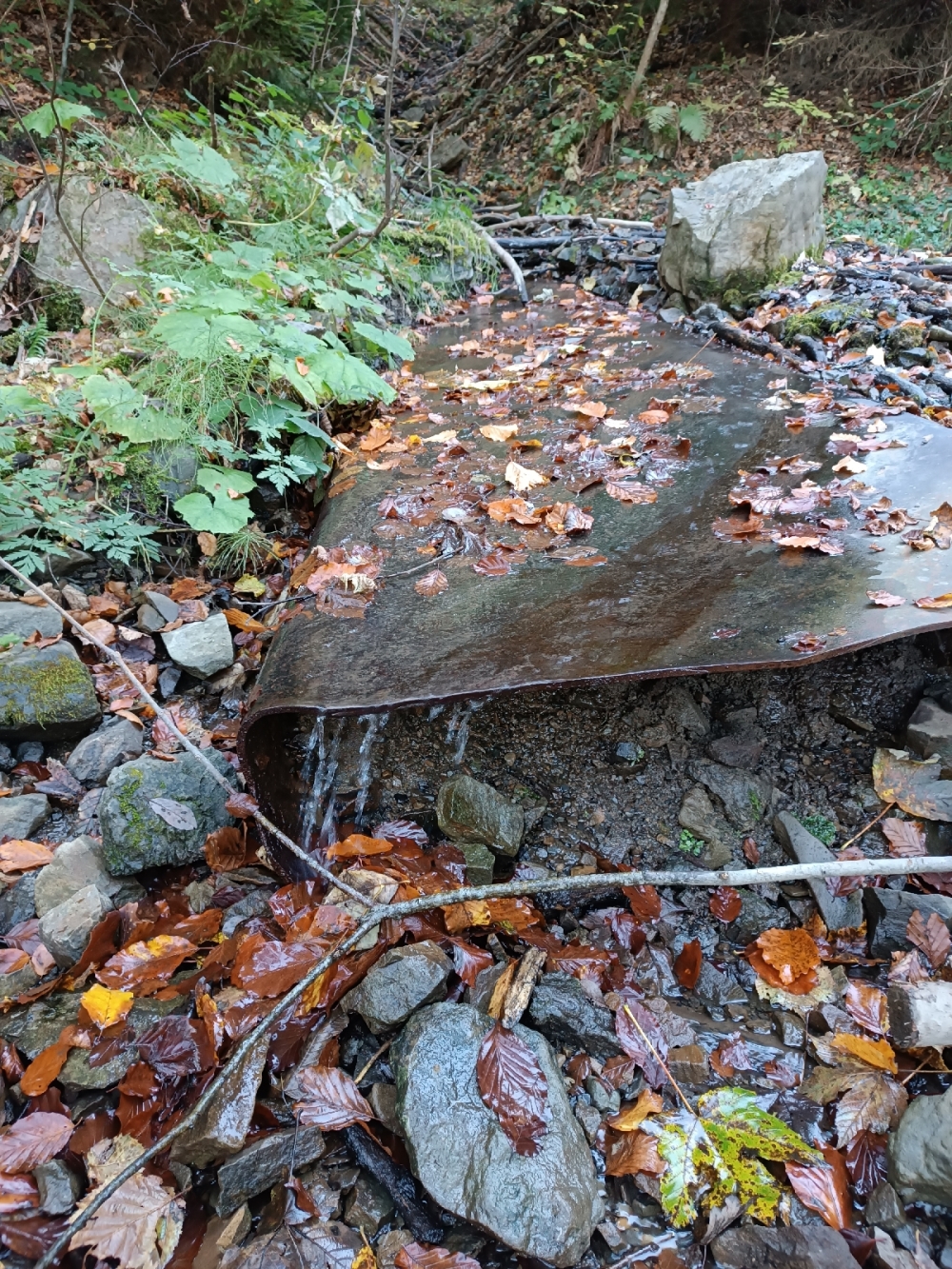
Two-three-day treking through the Krasna ridge .
Polonyna Krasna is a mountain range in the Ukrainian Carpathians. Located in Tyachiv and (partially) Mizhhirya districts of Zakarpattia region.
Polonyna Krasna is a part of Polonynsky Beskydy. It stretches from northwest to southeast in several successively connected arcs with numerous ridges (for example, the Krasny Verkh ridge, south of the village of Kolochava). From the west Polonyna Krasna borders with the valley of the river Terebli, from the east and northeast - with the valley of Teresva and Mokryanka, from the south and southwest - with the valleys of the rivers Luzhanka, Tereshilka and Krasny. The highest mountain in the massif is Siglansky (1563 m).
Guides on this route

KULUAR
Найбільший туристичний клуб України, що організовує походи та сходження по всьому світу: Карпати, Альпи, Гімалаї, Африка, Америка, Атлантичні острови, Скандинавія, Середземномор'я. Тут ви знайдете будь-який формат активних подорожей – походи в гори, трекінги, сплави, автотури, сходження чи масштабні експедиції. Відкривай світ разом з KULUAR💚
Найбільший туристичний клуб України, що організовує походи та сходження по всьому світу: Карпати, Альпи, Гімалаї, Африка, Америка, Атлантичні острови, Скандинавія, Середземномор'я. Тут ви знайдете будь-який формат активних подорожей – походи в гори, трекінги, сплави, автотури, сходження чи масштабні експедиції. Відкривай світ разом з KULUAR💚
Are you a guide? Show your services here
useful links
3D video animation of this route
Photo gallery

Comments
Roman Gelembjuk - 2020-01-31 13:24:42
© igormelika.com.ua