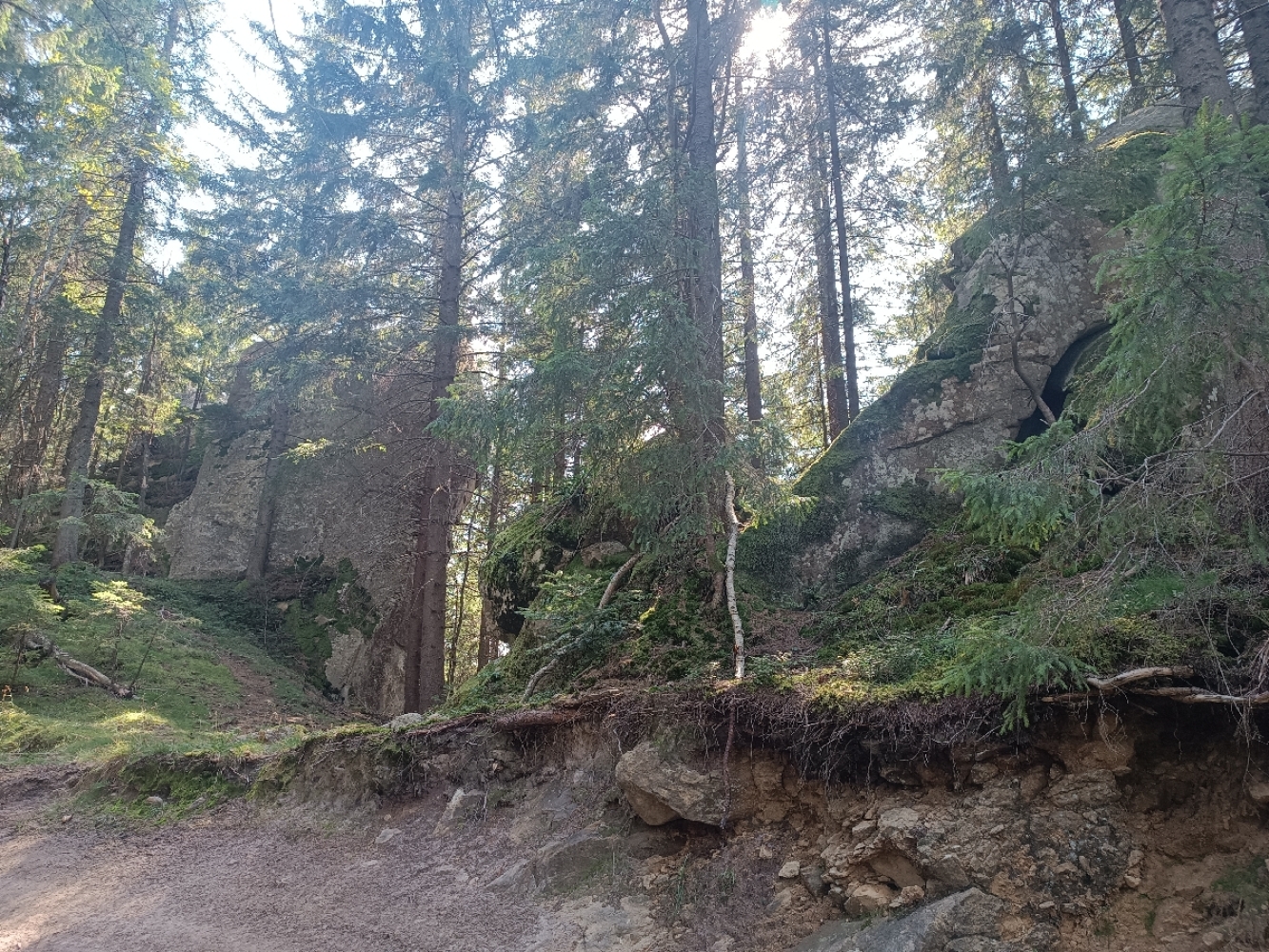
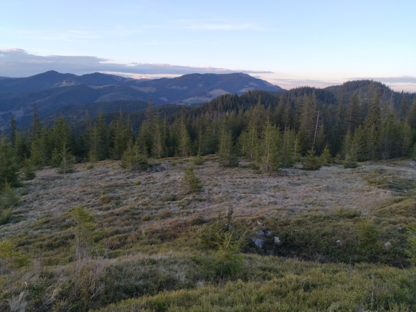
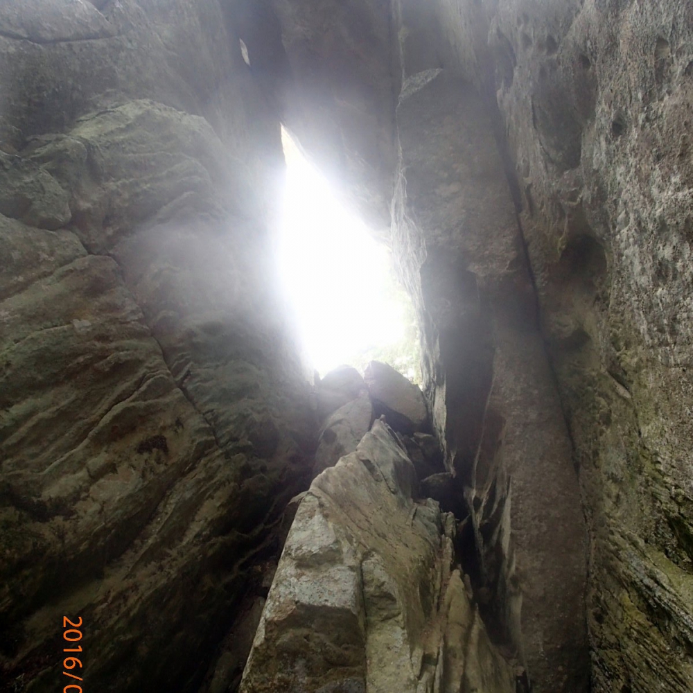
Ludova - Skupova, Hungarian Rocks
Yavirnyk village - Ludova - Skupova - Hungarian Rocks - Zelene village
A three-day hike through sparsely populated peaks east of the Chornohirsky massif, on the right bank of the Black Cheremosh.
Guides on this route

KULUAR
Найбільший туристичний клуб України, що організовує походи та сходження по всьому світу: Карпати, Альпи, Гімалаї, Африка, Америка, Атлантичні острови, Скандинавія, Середземномор'я. Тут ви знайдете будь-який формат активних подорожей – походи в гори, трекінги, сплави, автотури, сходження чи масштабні експедиції. Відкривай світ разом з KULUAR💚
Найбільший туристичний клуб України, що організовує походи та сходження по всьому світу: Карпати, Альпи, Гімалаї, Африка, Америка, Атлантичні острови, Скандинавія, Середземномор'я. Тут ви знайдете будь-який формат активних подорожей – походи в гори, трекінги, сплави, автотури, сходження чи масштабні експедиції. Відкривай світ разом з KULUAR💚
Are you a guide? Show your services here
3D video animation of this route
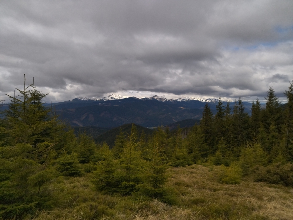
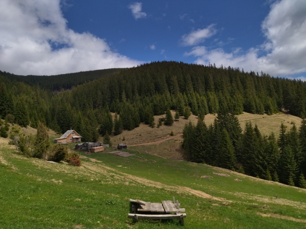
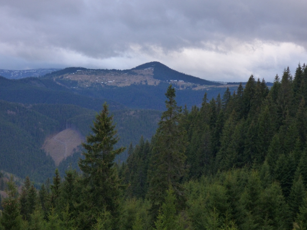
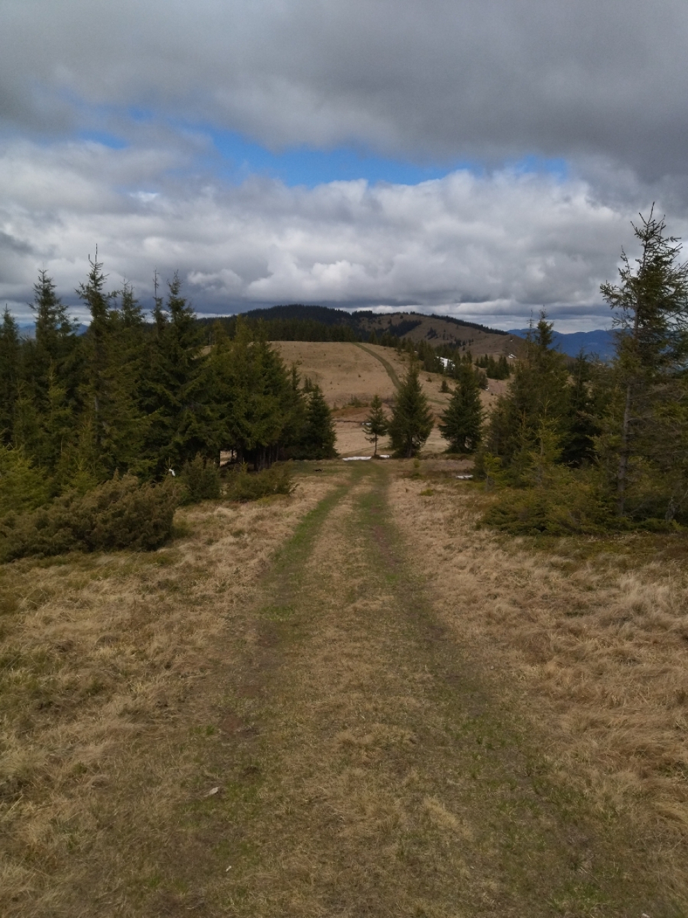
Photo gallery


Comments