Toggle navigation
Trekking
Carpathians
Routes
Routes
Map
Places
Towns & Willages
Peaks
Lakes
Waterfalls
Interesting places
Community
Chat
Forum
Routes
Map
Guides
Equipment
Weather
Forum
Chat
Quests
Blog
Directory
About
Developer
Contact
Email Address
Password
Forget the password
Enter
Remember Me
quick login with
Facebook
Twitter
Apple ID
Register
Guides
Equipment
Quests
Directory
Weather
Blog
About
Developer
Contact
German
English
Polish
Ukrainian
Download for
Apple iOS
Download for
Android
Support the project
DONATE
Looking for
Sponsor
All map objects
Back to the map
Show filter
My markers and places
Towns & Willages
Show objects
Water Source/Well
An interesting place
Camping place
Rescuers/Services
Dangerous place
Parking
All
Mountain Peak
Lake or Waterfall
Pasture
Tourist Building
Landmark/Pointer
Photo
Show map
Clean the filter
Clean up
Hide filter
Zomklya
725 m
Mountain Peak
No comments
The Zomklya mountain peak
No photos yet
Add a photo
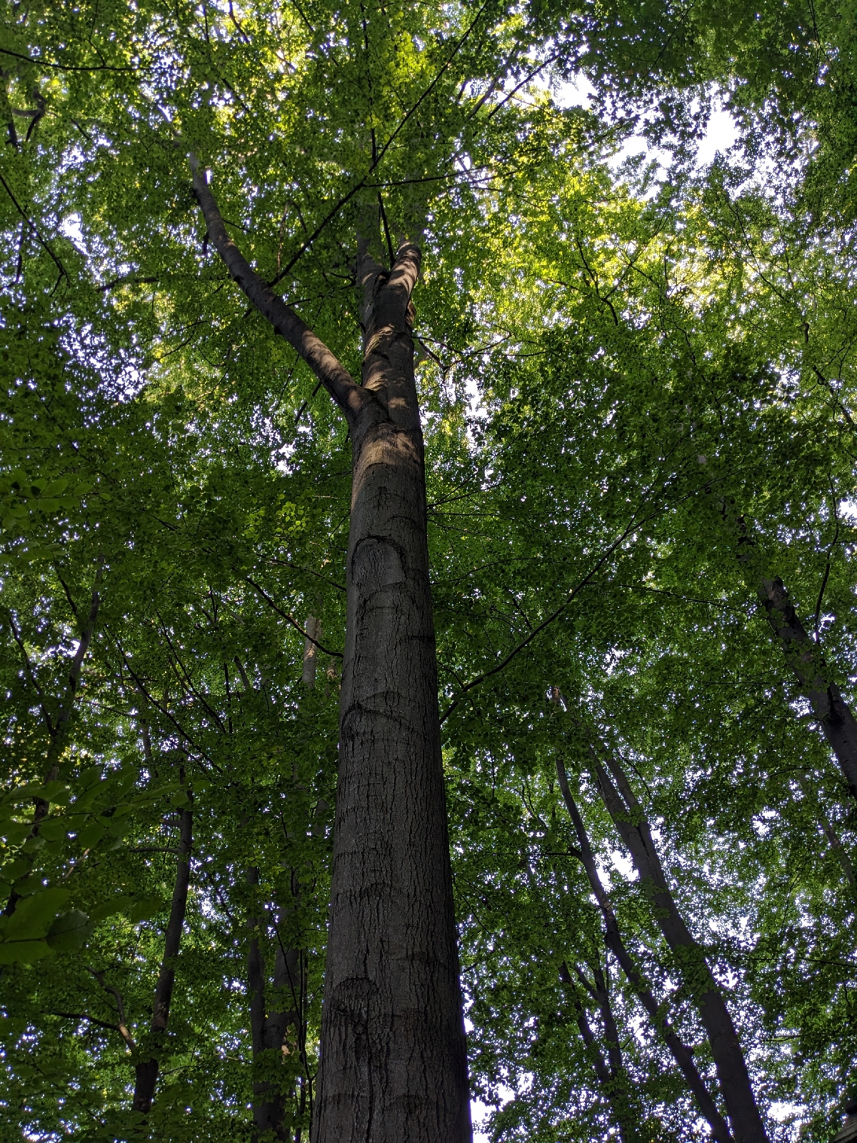
The oldest tree.
An interesting place
No comments
[без опису]
Show all 4 photos
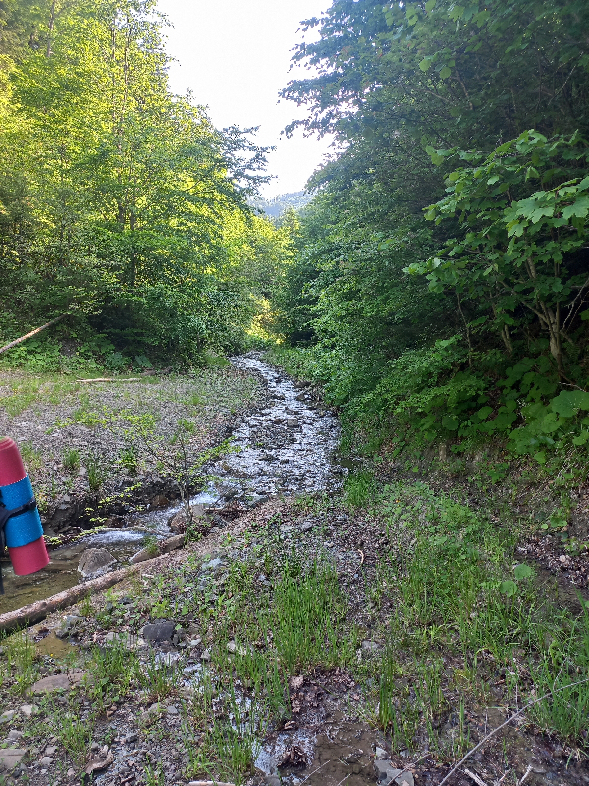
Струмок
Water Source/Well
No comments
[без опису]
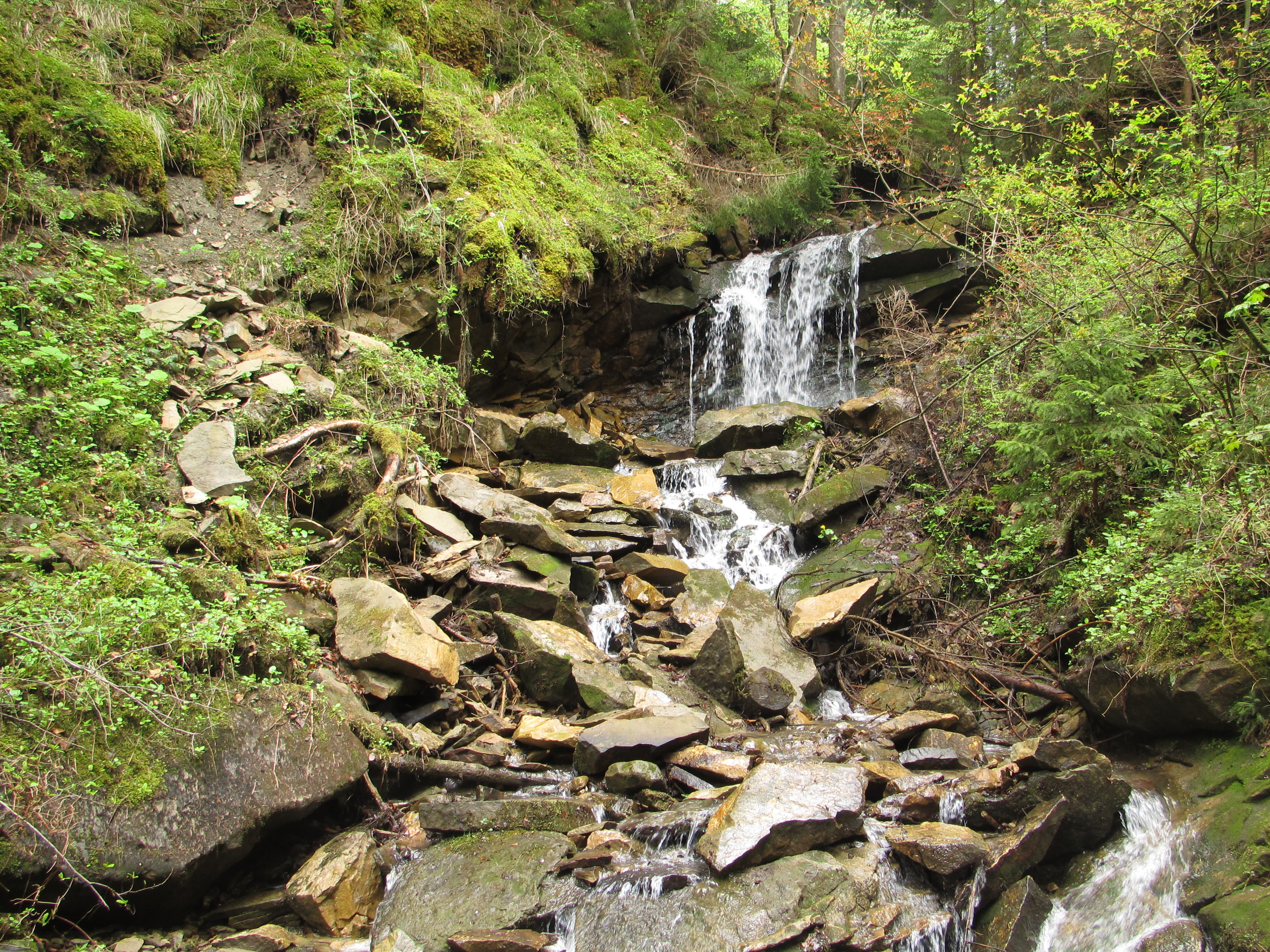
Водоспад Ціви (Надія)
Lake or Waterfall
1 comments
На хуторі Ціви в с. Білоберізка, де безіменний потічок впадає в струмок Млинський. Легкодоступний, маловідомий. Висота 2.5 м.
Kicherka
724 m
Mountain Peak
No comments
The Kicherka mountain peak
No photos yet
Add a photo
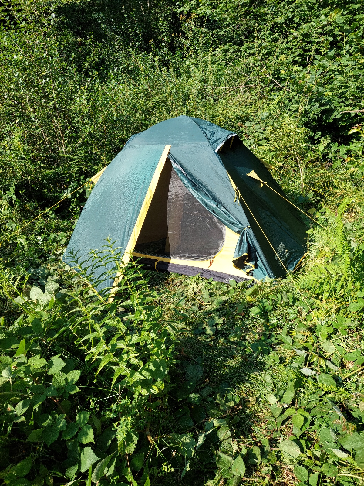
Місце для намету
Camping place
No comments
[без опису]
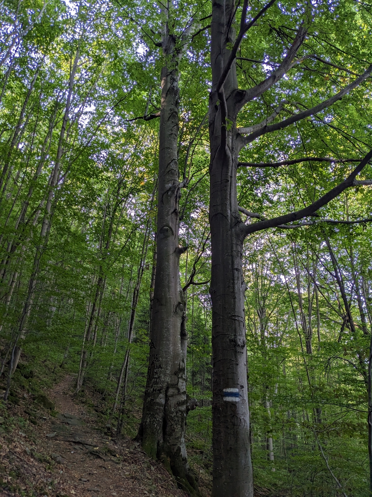
Chorna Kliva
723 m
Mountain Peak
No comments
The Chorna Kliva mountain peak
Show all 4 photos
Dilok
723 m
Mountain Peak
No comments
The Dilok mountain peak
No photos yet
Add a photo
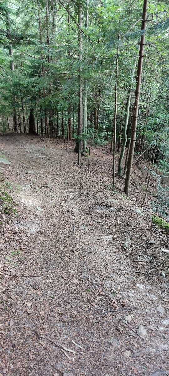
Route direction pointer
Landmark/Pointer
No comments
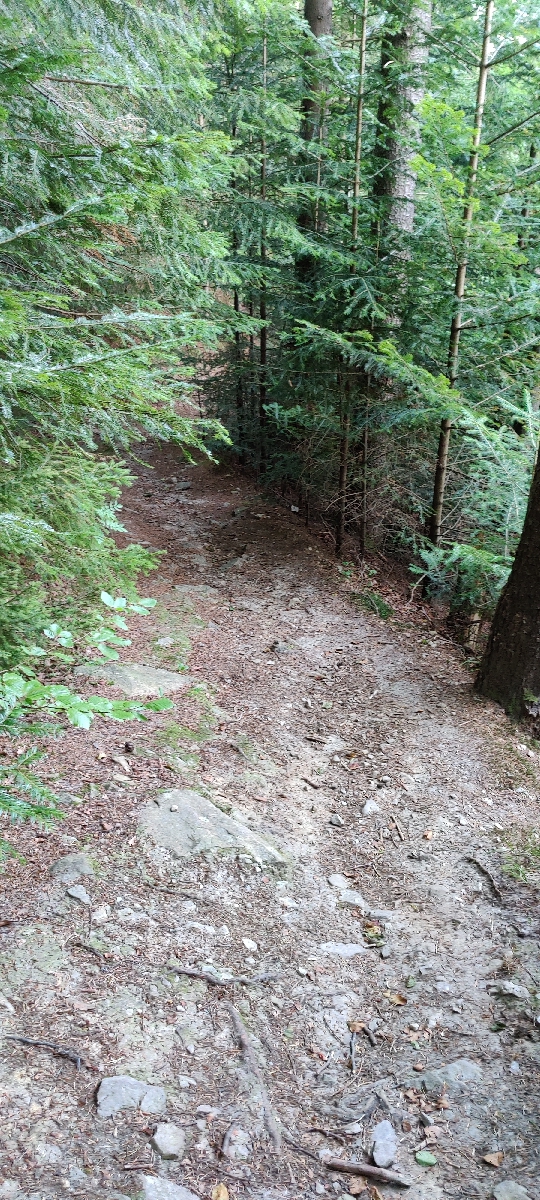
Дорога з Татарова на Ягідну
Show all 3 photos
Zahoruvki
721 m
Mountain Peak
No comments
The Zahoruvki mountain peak
No photos yet
Add a photo
2931-2940 From 3634
«
<
289
290
291
292
293
294
(current)
295
296
297
298
299
>
»
Please, log in
Remember Me
Forget the password?
Enter
Register
quick login with
Facebook
Twitter
Google
Apple